Case Study
Autonomous Minefield Navigation Swarm
Engineered a hierarchical swarm of sub-500g drones to autonomously map and mark safe corridors through a simulated 100-meter minefield in a GPS-denied environment using thermal imaging and computer vision.
The Challenge
The Robofest Minefield Navigation Challenge required a swarm of micro aerial vehicles under 500g to safely guide a person at risk across a 100-meter field of buried explosives without external data links. Initial testing with commercial flight controllers such as Pixhawk and Diatone Mamba failed because their internal failsafes prevented arming in GPS-denied environments and rejected external visual odometry. We had to build a custom flight architecture from scratch that could handle complex A* pathfinding and thermal detection while remaining strictly under the weight limit.
Technical Deep Dive
Hardware Architecture
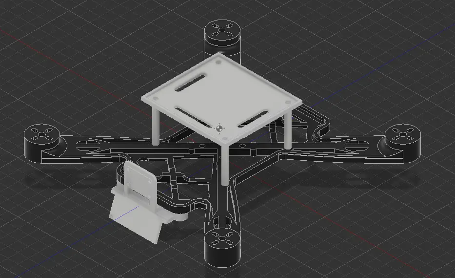
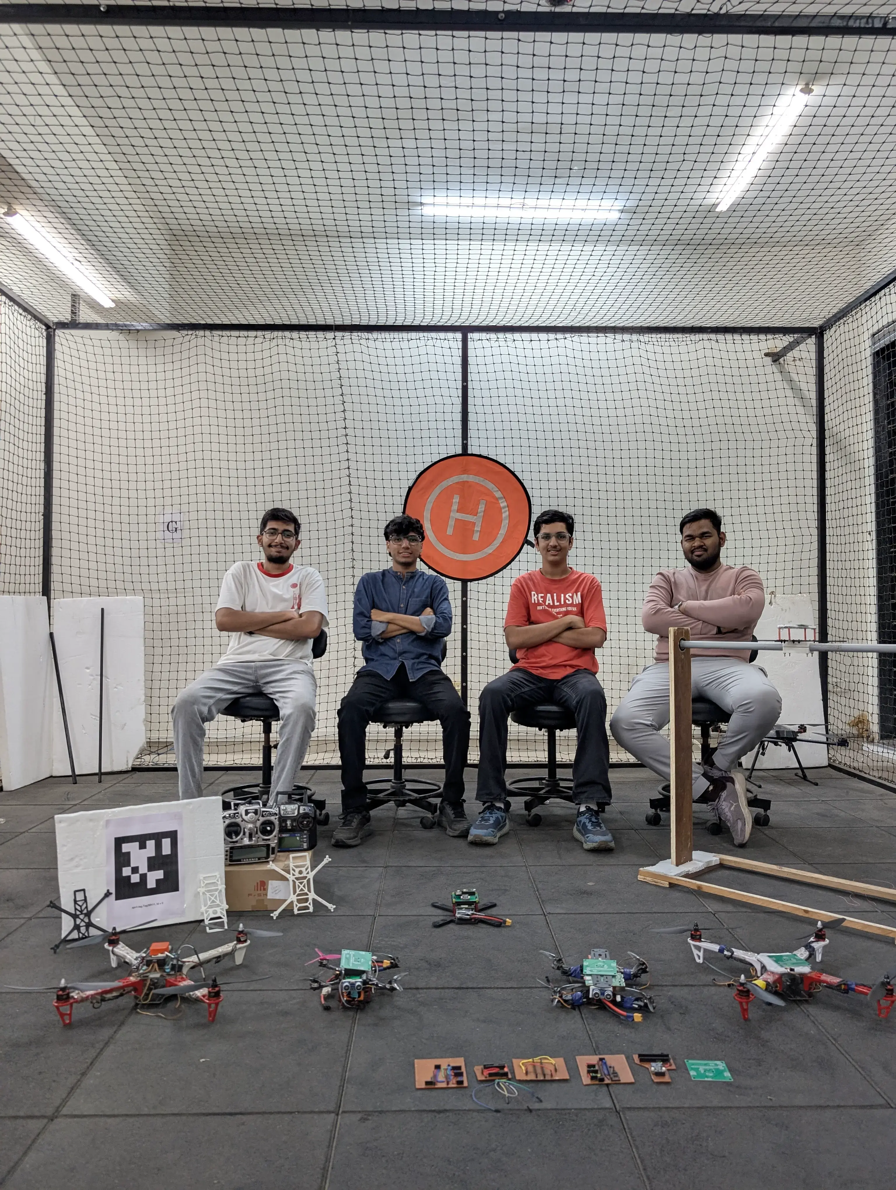
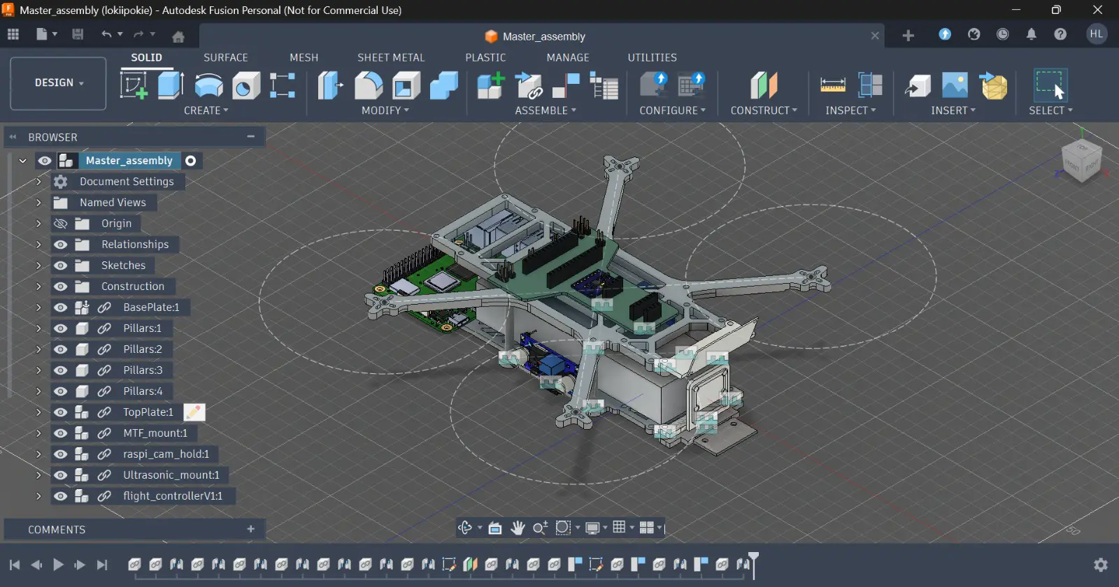
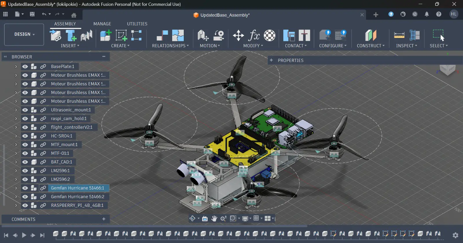
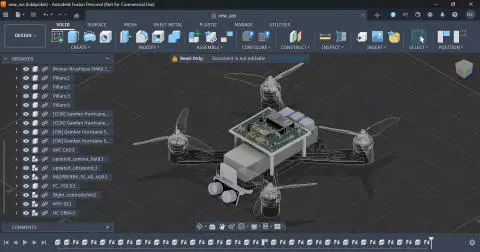
- 3D Printed Chassis: Used PLA for a Quad-X frame to minimize vibration and maximize the thrust-to-weight ratio.
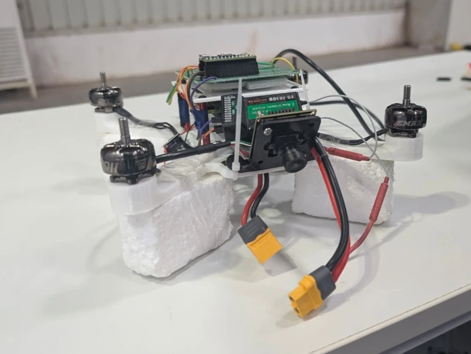
- Custom Payloads: Designed 3D-printed, vibration-isolated mounts for the MLX90640 thermal arrays and a custom liquid dispenser mechanism using an SG90 servo for the marker drone.
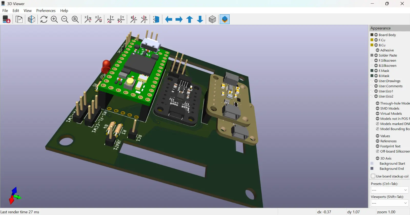
- Avionics Deck: Engineered a custom PCB carrier board for the Teensy 4.0/4.1, integrating I2C/SPI interfaces for the MPU-6050, MTF-01 optical flow, and DPS310 barometer.
Firmware & Control
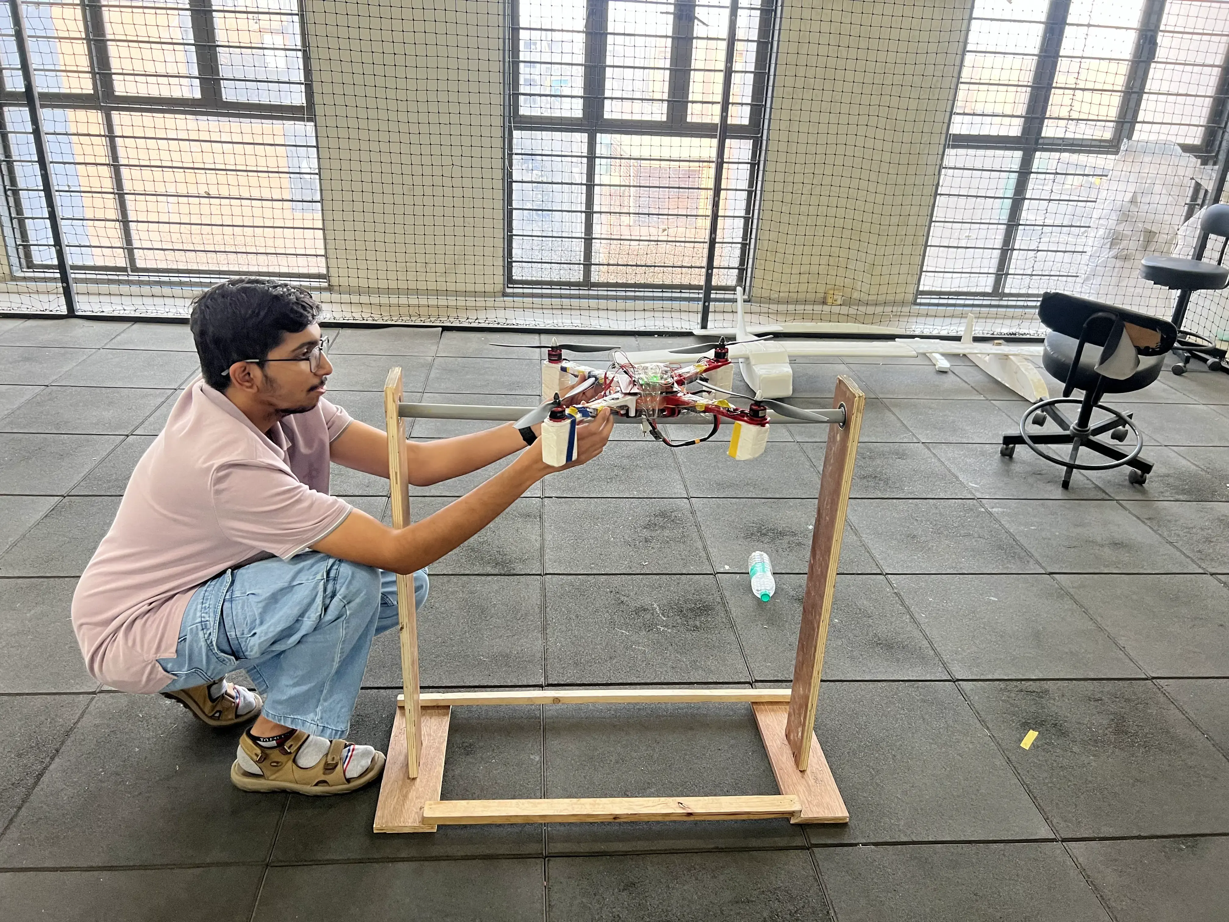
- Custom Teensy FC: Developed a proprietary C++ flight controller using a dual-core architecture to run PID loops at 400 Hz without telemetry interruption.
- Sensor Fusion: Implemented a complementary filter to fuse IMU and optical flow data, enabling rock-solid loiter capabilities indoors without GPS.
- Swarm Intelligence: Deployed a Raspberry Pi 4 master node running Python and OpenCV to recognize military hand gestures such as START, HOLD, and MOVE and dispatch UART velocity targets to the slave drones.
Results
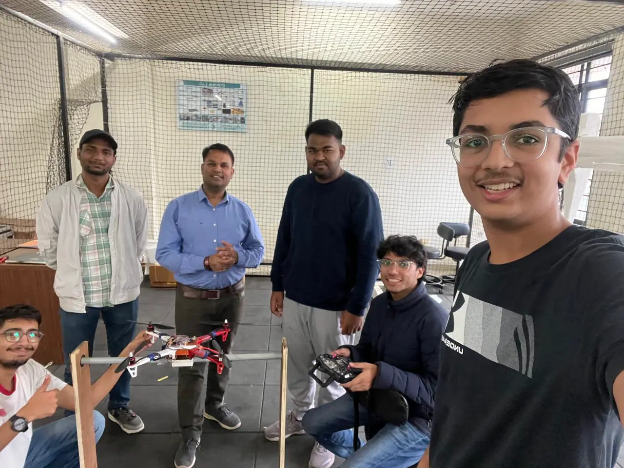
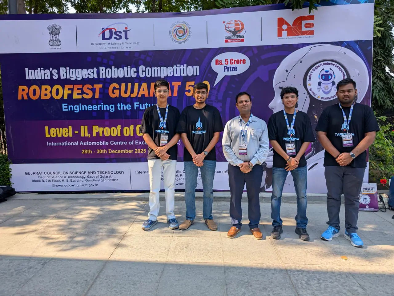
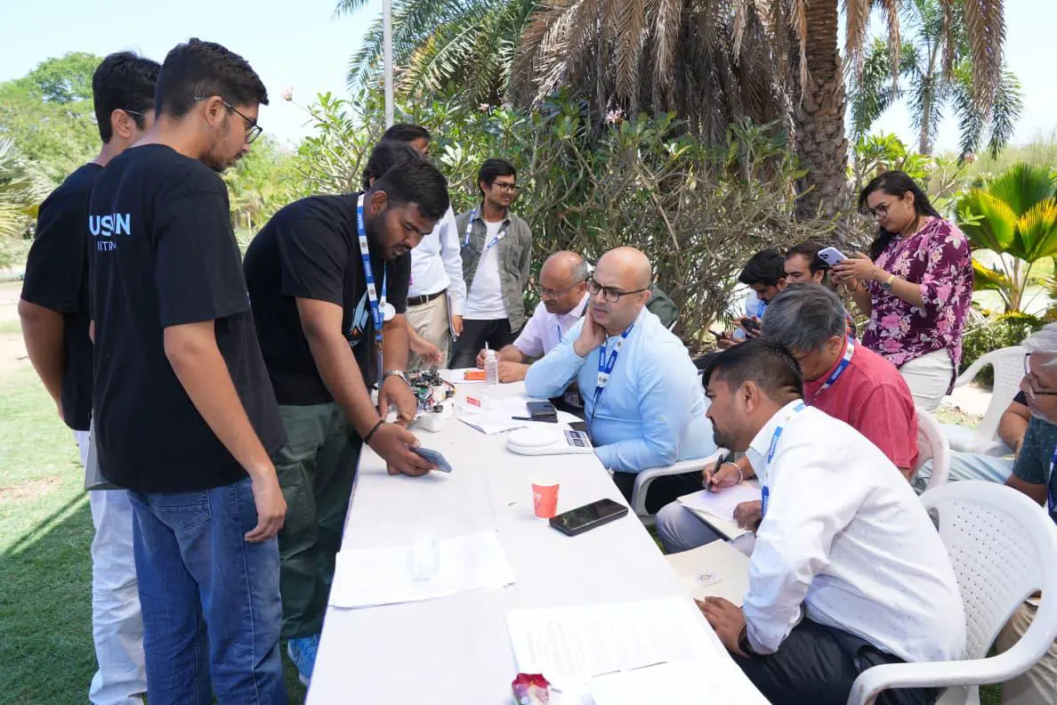
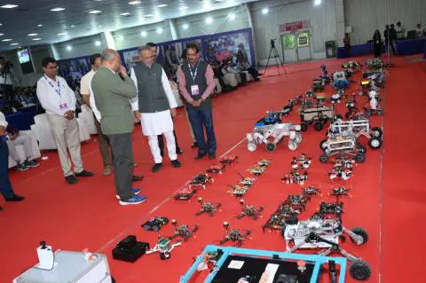
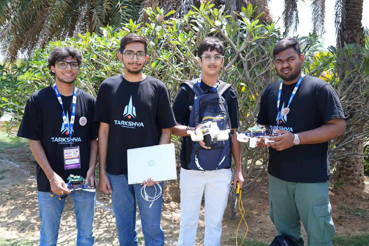
- Competition Success: The system successfully secured a finalist position and a ₹2 lakh prize at Robofest Gujarat 5.0.
- Weight Optimization: Successfully integrated complex computing and payload systems while keeping the master drone at about 469g and scout drones at about 397g, well under the 500g limit.
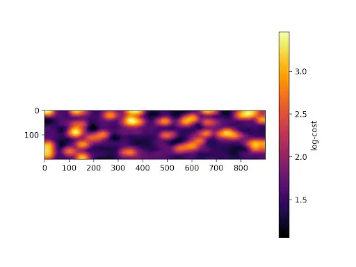
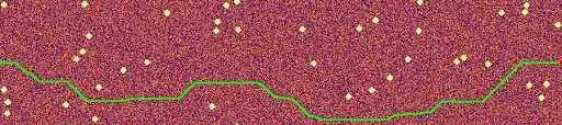
- Thermal Pathfinding: Validated an A* algorithm that dynamically generates a low-risk corridor by calculating a probabilistic cost map based on thermal inertia footprints of buried objects.
Gallery & Models
Click any image to preview.